our company services and products careers partner with us client support contact us
Key Features
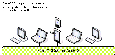
CoreMIS 5.0 simplifies information management and delivers premium benefits. You can:
Collect Data with Ease. In the field or in the office, CoreMIS allows you to collect data based on pre-defined standards and eliminates duplication efforts by directly importing various formats and sources into your spatial database.
Manage Data Effectively. CoreMIS builds the foundation for your information database to meet the full range of your business needs. You can manage your data by taking advantages of the rich functionalities that are currently out of reach today for traditional resource professionals and enjoy the seamless, reliable communication between your spatial and attribute databases.
Produce Operational Maps and Reports Effortlessly. CoreMIS brings mapping and reporting to your fingertips and gives you easy access to quality information. You can produce high quality maps in interactive or automated mode with data fields automatically populated from the CoreMIS database, PhoenixPro or your own information system.
 CoreMIS 5.0 for ArcGIS
Get Back to the Woods
product overview
key features
modules and plug-ins
system requirements
faq
what’s new!
what they say…
ASIM is a proud partner of:

our company | services and products | careers | partner with us | client support | contact us